

GIS for Social Good
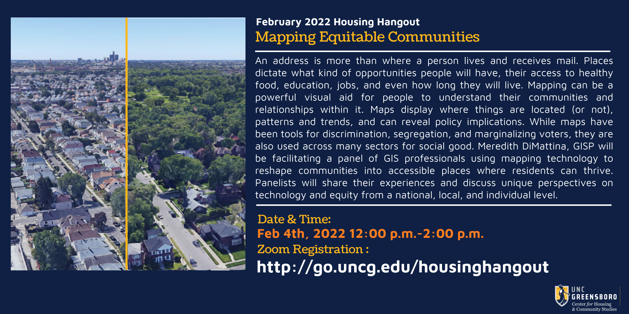
An address is more than where a person lives and receives mail. Places dictate what kind of opportunities people will have, their access to healthy food, education, jobs, and even how long they will live. Mapping can be a powerful visual aid for people to understand their communities and relationships within it. Maps display where things are located (or not), patterns and trends, and can reveal policy implications. While maps have been tools for discrimination, segregation, and marginalizing voters, they are also used across many sectors for social good. Meredith DiMattina, GISP will be facilitating a panel of GIS professionals using mapping technology to reshape communities into accessible places where residents can thrive. Panelists will share their experiences and discuss unique perspectives on technology and equity from a national, local, and individual level.
Presentation Slides and Resources:
- Slides from Bonny P McClain
- Slides from Ashley Hitt, GISP
- Slides from Greg Babinski, GISP
- Slides from Frank Romo
Speaker Bios:
- Bonny P McClain is a speaker and geospatial analyst working with a wide variety of tools and resources focusing on open source data. As an author and collaborator Bonny’s most recent book is being published by O’Reilly Media this year, Python for Geospatial Data Analysis: Theory, Tools, and Practice for Location Intelligence. Bonny applies advanced data analytics, including data engineering and geo-enrichment, to poverty, race, and gender discussions. Her research targets judgments about social determinants, racial equity, and elements of intersectionality to illuminate the confluence of metrics contributing to poverty. Moving beyond ZIP codes to explore apportioned socioeconomic data based on underlying population data leads to discovering novel variables based on location to build more context to complex data questions. As a member of the National Press Club and 500 Women Scientists, Bonny is present at a wide variety of health policy and health economic discussions.
- Ashley Hitt, GISP is the Vice President of GeoAnalytics at Connected Nation, a national leader in broadband expansion programs. She oversees operations, project execution, and strategic planning for the GeoAnalytics team and is responsible for developing strategies using Geographic Information Systems (GIS) to provide data visualization solutions that impact policy, economic development, and the digital divide. She is a certified Geographic Information Systems Professional (GISP) and holds a bachelor of science in geography and a master of science in geoscience from Western Kentucky University. She was selected as the Urban and Regional Information Systems Association’s (URISA) Young GIS Professional of the Year in 2011, received the 2017 URISA Leadership Award and the 2020 URISA Service Award, and was elected as URISA President-Elect for 2021-2022.
- Greg Babinski is a GIS management consultant and founder of GIS Management Consulting Services LLC, located in the greater Seattle area. Between 1998 and the end of 2021 he served as GIS Manager, GIS Finance Manager and GIS Marketing & Business Development Manager for the King County GIS Center in Seattle. Previously he worked for nine years as GIS Mapping Supervisor for the East Bay Municipal Utility District in Oakland. He holds an MA in geography from Wayne State University. Greg is a GISP – Certified GIS Professional. Babinski is Past-President of URISA and founder and Past-Chair of URISA’s GIS Management Institute. In 2005 he founded The Summit – the Washington State GIS Newsletter. In 2019 Greg was awarded an EthicalGEO Fellowship by the American Geographical Society. In addition to GIS consulting, he is a GIS researcher, author, and instructor. He has spoken about GIS management across North America, Europe, Asia and Australia. Greg has taught GIS for Public Policy as an instructor with the University of Washington Evans Graduate School of Public Administration. In his spare time Greg likes ‘hiking steep, narrow and dangerous trails that lead high above the clouds to awesome views’.
- Frank Romo hails from Los Angeles, California and is the founder of RomoGIS Enterprises: a data, design and research collaborative aimed at promoting the public good through innovative technical solutions and research. Frank has a long history of being a community advocate, planner and activist in the areas of urban design, public health, and social justice. As an entrepreneur Frank seeks to provide communities with the training and technical solutions needed to empower residents and inspire people to make an impact in their local communities. Frank currently works for the City of Detroit implementing new data strategies and methods to improve the city’s 911 system and public safety agencies. His overall mission is to use his expertise as a scholar and urbanist to improve the design, safety and livability of cities.